Taliban Ministry Holds Six-Day GIS Seminar for Aviation Staff
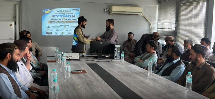
The Directorate of Aviation Guidance, affiliated with the Taliban’s Ministry of Transport and Civil Aviation, announced the completion of a specialized six-day seminar on Geographic Information Systems (GIS) and analytical networks for its personnel. According to the directorate, the objective of this training program was to enhance the professional capacities of staff and increase their familiarity with modern technologies in the aviation sector. Participants received comprehensive training on the usage of GIS and methods of network analysis. Officials responsible for the program stated that the training provided could enable more effective use of new technologies and improve the quality of professional duties within the directorate. Geographic Information Systems are considered important tools for managing spatial areas and precise planning in technical sectors, including aviation.